Mapping Services
- Home
- Services
- Mapping Services
Mapping Services
Transforming Data into Clarity, Insight, and Action
At RJR Services, we provide advanced Mapping and Geospatial Intelligence Solutions that turn complex spatial data into clear, actionable insights. Using satellite imagery, drone mapping, and GIS technologies, we help organizations visualize, analyze, and manage their assets, land, and environmental data with precision and confidence.
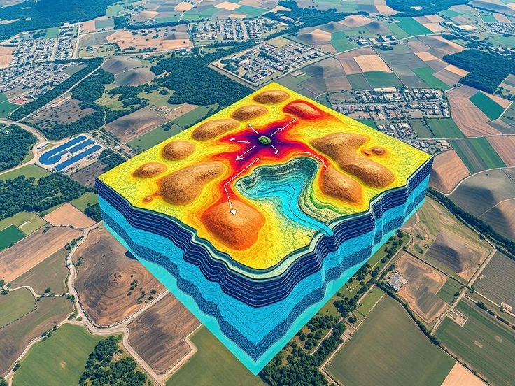
🌍 Why Mapping Matters?
Accurate mapping is the foundation of effective decision-making.
From identifying carbon project boundaries to monitoring environmental changes, spatial data enables smarter, faster, and more sustainable outcomes.
At RJR Services, we ensure your maps aren’t just visuals — they’re strategic tools that support operational, environmental, and business objectives.
Our Approach:
We integrate spatial analytics and predictive modeling to deliver actionable intelligent Accurate Maps.
Our goal:
Whether it’s for carbon projects, agriculture, land management, or infrastructure planning, our mapping services bring accuracy and intelligence to every decision.
Our Mapping Solutions
Satellite Mapping & Remote Sensing
Gain large-scale insights without leaving the ground.
We use high-resolution satellite imagery to monitor land cover, vegetation, and environmental changes over time.
- Land-use and land-cover mapping (LULC)
- Vegetation index analysis (NDVI, EVI)
- Change detection and environmental monitoring
- Cloud-free composites and time-series datasets
Drone Mapping & Aerial Surveys
Capture on-ground reality with centimeter-level precision.
Our drone-based mapping services offer detailed topographic and vegetation data for site-level assessments.
- High-resolution orthomosaic generation
- 3D terrain and surface models (DSM/DTM)
- Canopy height and biomass measurement
- Construction and restoration progress mapping
Carbon Project Boundary Mapping
Define your project area with accuracy and compliance.
We create GIS-based boundaries and shapefiles that meet regulatory and carbon registry requirements.
- ACCU, Verra, and Gold Standard boundary mapping
- Geo-referenced site delineation
- Area calculation and carbon zone segmentation
Environmental & Land Use Mapping
Monitor land productivity and sustainability.
We help identify degradation, soil erosion, vegetation loss, and land suitability for restoration or agriculture.
- Soil and hydrology mapping
- Erosion and land degradation analysis
- Crop and forest type classification
- Habitat and biodiversity mapping
Infrastructure & Asset Mapping
Manage resources and infrastructure effectively through location intelligence.
Pipeline, road, and utility corridor mapping
Asset inventory and field data collection
Spatial analysis for planning and risk management
Interactive Web Mapping & Dashboards
Make your maps dynamic and data-rich.
We develop custom GIS dashboards and web mapping platforms that visualize project performance in real-time.
- Web-based dashboards (ArcGIS, Power BI, or custom systems)
- Multi-layer data visualization
- Live project monitoring tools for teams and investors

Mapping the Path to a Sustainable Future
Every great project begins with a clear map. At RJR Services, we provide the tools, technology, and expertise to turn your spatial data into decisions that drive resilience, sustainability, and success.
Why Choose RJR Services:
Way Towards Net Zero:
- Expertise in GIS, remote sensing, and environmental science
- Integration of data from satellite, drone, and field sources
- Scalable mapping solutions for any project size
- Compliant outputs for carbon and sustainability frameworks
- Visually clear, data-driven, and client-focused mapping products
To help drive the transition to net zero, the Australian Government has set a target to reduce emissions to 62-70% below 2005 levels by 2035. Australia’s abundant renewable energy resources provide the foundation to decarbonise our electricity system, reduce our reliance on fossil fuels in industry, transport and buildings through electrification, and produce new green commodities.